
Property Line Survey
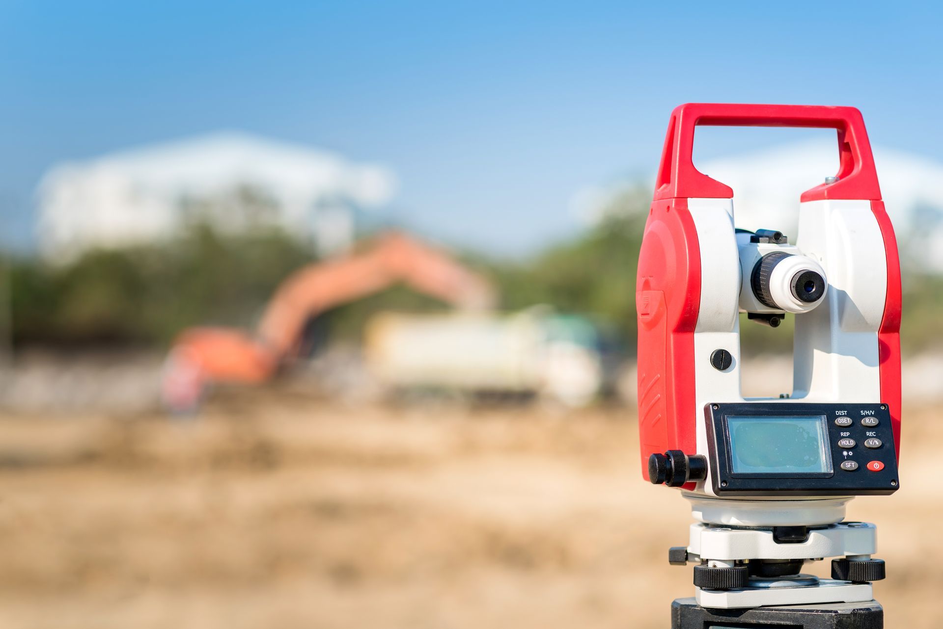
Property line surveys provide the precise information needed to determine where one parcel of land ends and another begins. Our Property Line Survey service focuses on identifying and marking the exact boundaries of a property so that owners clearly understand the limits of their land. This type of survey is particularly valuable when landowners are planning improvements near the edge of their property. Projects such as fences, additions, driveways, or landscaping often require precise knowledge of boundary locations to avoid accidental encroachment. By accurately locating and marking property lines, the survey provides a dependable reference that property owners can rely on when planning future improvements or resolving uncertainties about land boundaries.
Careful Evaluation of Legal Property Descriptions
Property line surveys begin with the evaluation of legal descriptions contained in deeds and land records. These descriptions define the dimensions and shape of a parcel, often using bearings, distances, and references to neighboring properties or landmarks. We analyze these descriptions to determine how the property is legally defined. Even when land appears straightforward on paper, translating written descriptions into real-world measurements requires careful interpretation. Older records may use terminology or measurement systems that differ from modern surveying practices. This step is essential for producing a survey that is not only accurate in measurement but also consistent with the legal history of the land.
Locating Existing Boundary Markers
During our fieldwork, we search for existing boundary markers that may already define the corners of the property. These markers might include iron rods, survey monuments, concrete posts, or other physical indicators placed during previous surveys. Finding these markers provides valuable confirmation of property limits. However, not all markers remain intact over time. Landscaping, construction, or natural changes in the environment can sometimes disturb or remove them. Once located or re-established, these points form the foundation for accurately marking property lines.
Marking and Mapping the Property Lines
After the property corners have been identified, we measure the lines connecting those points to define the full boundary of the parcel. These lines are carefully recorded using professional surveying instruments designed to deliver highly precise results. Physical markers or flags may be placed along the property corners so landowners can easily identify where their boundaries lie. This visual reference can be extremely helpful when planning improvements or discussing property limits with neighbors. Survey data is then compiled into a detailed map or survey drawing. This document shows the property lines, corner locations, measurements, and relevant features discovered during the survey. The map provides a clear visual representation of the land and becomes an important record for the property owner.
Helping Property Owners Move Forward with Confidence
A property line survey offers clarity that benefits both current landowners and future property transactions. Knowing exactly where property lines are located helps avoid conflicts and allows projects to proceed without uncertainty. Property line surveys are often requested before installing fences, constructing buildings, or dividing land into smaller parcels. They also play an important role during property sales when buyers want confirmation of the land they are purchasing. At FieldForge Land Surveyor, our goal is to deliver survey results that provide dependable answers. By combining careful research, precise measurements, and clear documentation, property line surveys create a reliable foundation for property ownership.